Reading Mountain Clouds: A Camper's Field Guide to Weather Signs
Alpine weather changes fast, but the sky broadcasts its intentions hours in advance. A short field guide to the cloud shapes campers should learn to recognize.
Published
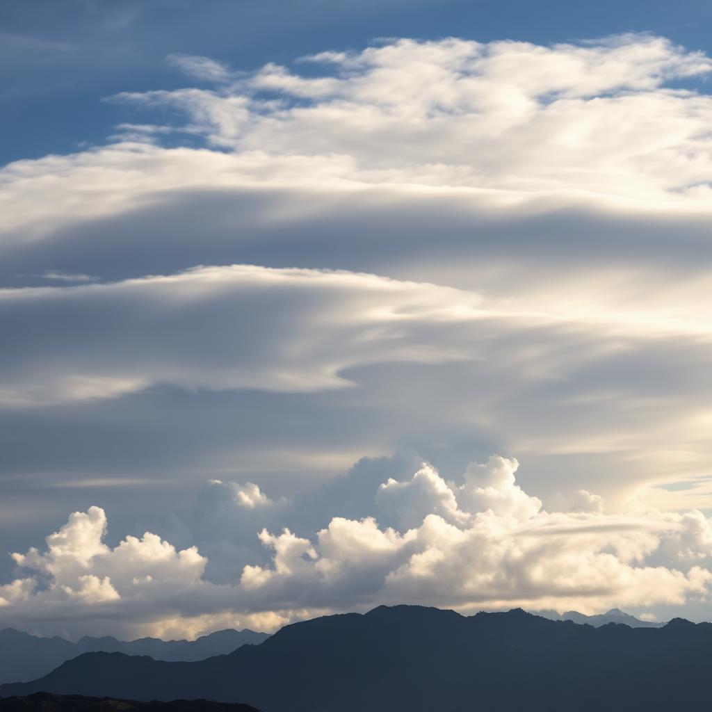
Modern weather forecasts are astonishingly good, but they are also generalized over grids that can be twenty kilometers wide. In the mountains, where terrain routes air and creates local weather, the sky above your head is often a better forecaster than an app for the next six to twelve hours. A camper who can read a few basic cloud types will be better prepared than one who cannot, even on trips where a fresh forecast is available.
The five shapes to recognize
Cloud names look intimidating but the underlying vocabulary is small. Learn to distinguish five families and you have most of what you need: cirrus, cumulus, stratus, altocumulus and lenticular. Each family carries a different message, and combinations tell most of the story.
Cirrus clouds are the high, wispy streaks that look like brushstrokes. On their own, they mean nothing more than moist air at altitude. Thickening cirrus that spreads into a milky veil across the whole sky is a different message: a warm front is on the way, and rain typically follows within eighteen to thirty-six hours.
Cumulus and the daily rhythm
Cumulus clouds are the puffy, cotton-ball shapes that build over ridgelines as the sun heats the ground. A summer sky with widely spaced cumulus and blue between them is a stable, benign day. The signal to watch for is vertical growth: when the tops of cumulus begin to sprout upward like cauliflower, the atmosphere is unstable, and thunderstorms are possible within a few hours.
The classic alpine rule is to be off exposed ridges by early afternoon on summer days that show building cumulus. Storms can develop in less time than it takes to descend, and lightning is by a wide margin the most dangerous weather hazard for high-country campers.
Stratus, drizzle and low clouds
Stratus is the low, featureless gray layer that hangs on ridges and produces drizzle or light rain rather than thunderstorms. It looks unremarkable and often is, but it can cover a landscape for days and turn what should be a scenic trip into a soggy exercise in patience. Stratus with wind is worse than stratus without wind, because horizontal rain quickly overwhelms most three-season jackets.
Altocumulus and mid-level warnings
Altocumulus clouds are the mid-level ripples and cloudlets that look like fish scales or small tufts. Their appearance in an otherwise clear morning is a specific and useful warning: altocumulus castellanus, the version with small turrets on top, indicates mid-level instability and predicts afternoon thunderstorms with high reliability. If you see castellanus at breakfast, plan a shorter, lower-elevation day.
Lenticulars and the wind
Lenticular clouds are the smooth, lens-shaped clouds that form downwind of major peaks in strong upper-level winds. They are dramatic and beautiful, but they are not friendly weather. Persistent lenticulars mean strong wind aloft, often eighty kilometers per hour or more, and that wind will typically reach ridge level within a day.
A camper who sees fresh lenticulars over an alpine range should assume that the high country will be windy soon, and should plan camps and route choices accordingly. Sheltered valleys and treeline zones become far more attractive than the exposed cols that looked appealing on the map.
Combining signals
The most useful skill is not naming clouds but combining what they say. Cirrus thickening from the west, followed by a lowering ceiling and a shift to south wind, describes a warm front's arrival with almost textbook consistency. Fair-weather cumulus that stops growing by early afternoon suggests a stable day; the same cumulus continuing to build past noon suggests the opposite.
Pairing the sky with the forecast
Reading clouds does not replace a good forecast. It refines one. When the app says a forty-percent chance of afternoon thunderstorms and the sky shows early castellanus, treat the forecast as an underestimate. When the app says the same forty percent but the sky remains calm and stratocumulus stays flat, treat it as an overestimate.
The camper who learns to read the sky ends up not merely safer but more attuned to the mountains. Weather stops being an anxiety and becomes a language, and the trips you plan around it become richer because you understand what it is saying.