Reading Alpine Microclimates: What Campers Should Actually Watch
The mountains generate their own weather at scales too small for forecasts. A short field primer on lapse rates, valley winds and afternoon convection.
Published
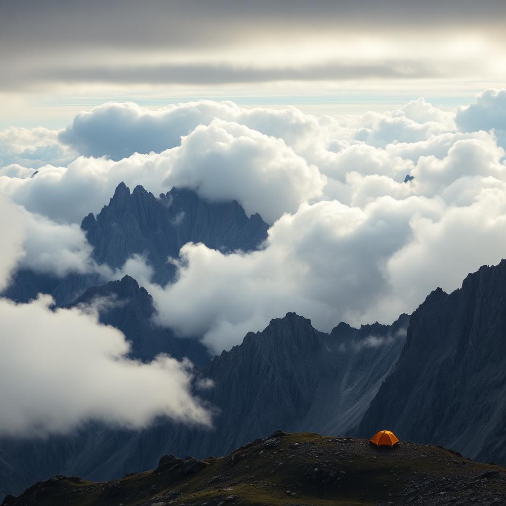
Weather forecasts are built at a resolution that misses most of what actually happens in the mountains. A regional forecast might predict a thirty percent chance of afternoon showers across a hundred-mile stretch; the reality on the ground can be a clear morning at the trailhead, a violent thunderstorm at the pass and a calm evening at the lake. This piece introduces the four mechanisms that most shape alpine microclimates and how to read them from a campsite.
Lapse rate: the cooling with elevation
The standard atmospheric lapse rate is roughly 3.5 degrees Fahrenheit of cooling per thousand feet of elevation gained. In dry air the number can be closer to 5.5 degrees per thousand feet; in saturated air, closer to 2.5. This is why a summer morning that starts warm at the trailhead can feel bracing at the pass, even without wind or shade.
For campers, the practical implication is simple: expect nights at a high camp to be roughly ten to fifteen degrees colder than the valley you drove out of. Choose insulation for the camp elevation, not the parking lot.
Valley winds: the daily breath of the mountains
In stable weather, mountain valleys generate their own daily wind cycle. During the day, sunlit slopes heat faster than the valley floor, driving warm air upslope. At night the pattern reverses: cold air drains down the slopes and pools in valley bottoms, creating persistent inversions.
For campers this has two practical implications. First, valley bottoms are typically the coldest places to sleep, sometimes dramatically so. A campsite fifty vertical meters above a valley floor can be ten degrees warmer at dawn than a site at the very bottom. Second, downslope winds pick up after sunset and die around dawn; use the evening lull to pitch and secure the tent.
Afternoon convection: the thunderstorm cycle
Summer thunderstorms in the mountains are a predictable daily cycle in stable weather patterns. Morning sun heats south- and west-facing slopes, air rises, moisture condenses at altitude, and by early afternoon convective clouds have built into cumulonimbus. Rain, lightning and gusty winds follow, typically peaking between two and five in the afternoon.
The practical response is to start early and be down from exposed terrain by noon. This is old advice, and it remains the most reliable safety practice in alpine terrain.
Orographic lift and rain shadows
When moist air is pushed up a mountain range, it cools and drops its water on the windward side. The leeward side, in the rain shadow, is dramatically drier. This is why the eastern side of the Sierra Nevada is desert while the western side is temperate rainforest, and why the Front Range of the Rockies is dry while the eastern slope of the same range in Wyoming can be soaked.
For campers, the implication is to check which side of a range you are on and what direction storms typically move. A campsite on the leeward side may see only fragmented weather while the windward side is deluged.
Reading the sky from camp
Small, flat clouds at midday that grow vertically through the afternoon are the classic pre-thunderstorm signal. Long, wispy cirrus streaming from the west is a signal that a front is arriving in the next twelve to twenty-four hours. Rapidly changing pressure — a barometer or a phone app can track this — is one of the most reliable predictors of an incoming storm.
None of this replaces a good forecast. It supplements the forecast at the scale of the specific ridge you are camped on, which is the scale that actually matters for a trip.